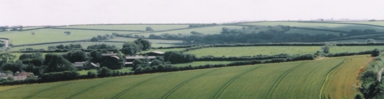
Old maps help us to pin-point houses, farms, chapels and roads in the Buckland Brewer of the past. We have access to a series of maps of different scales and dates. The majority of these are Ordnance Survey maps but we also have the Tithe map of the parish (see T is for Tithes). Benjamin Donne’s 1765 map of Devon is particularly useful for being aware of the route ways in the area 250 years ago. It also gives the location of the principal residences and the names of their owners. With the help of a local artist, we also have a map of the village in 1851, together with details of who we believe lived where. There is a beautifully drawn map of the parish today on the centre of our village.

Great post for X. Would love to see the map. I linked to your participation in the #AtoZChallenge on my post for X; Xenagogue That’s Me.